

📍 Nayarit, Mexico
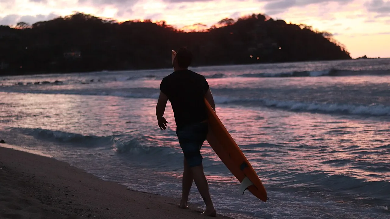
Photo: Gustavo Arroyo (Gustavoarroyofotos) / Wikimedia Commons, CC BY-SA 4.0
Sayulita is where most people learn. The Punta de Mita headland is where the better waves are, and they tend to work in a different season.
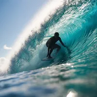
Mellow waves right in front of town and a beach full of surf schools. The trade-off is the crowd, and a water-quality record worth checking before you paddle out.
Sayulita in detail arrow_forward
La Lancha, El Anclote, Stinky's and more on the headland at the north end of Banderas Bay — most of them are at their best on winter northwest swell.
Punta de Mita in detail arrow_forward
A documented thermal kiteboarding spot inside the bay, roughly winter to early summer. Not the main event here, but real.
Bucerías kiteboarding arrow_forwardA short drive north of Puerto Vallarta's airport, but in a different state, and under Mexican law rather than US rules.
Sayulita has three breaks directly in front of town, and The Surf Atlas describes them clearly. The Sandbar is the beginner wave: it faces north, which shelters it from the heavier south and southwest swells, and it gives a long take-off zone with both green waves and whitewater. The Sayulita Right is the most consistent wave in town. It breaks at the river mouth over a sand bottom studded with rocks and a few patches of reef, usually somewhere between waist and chest high, and it suits longboards. The Sayulita Left is another river-mouth wave, a little further along the beach, and it tends to appear only on bigger days, usually in summer, with a faster take-off.
Expect a crowd. The same guide calls the town breaks "always busy" and the Sandbar "really busy," with surf schools and loose boards everywhere. Go early. Surf-forecast lists a separate break north of town, Punta Sayulita, as a reef break with submerged rocks, and that is not the beginner wave; don't confuse the two names.
See Sayulita on Google Maps open_in_newWe checked these three schools' websites. Lunazul Surf School offers private lessons in Sayulita and longer sessions that drive students to Punta de Mita. Sayulita Surf Camps offers one-day lessons, surf trips and week-long camps. WildMex teaches in Sayulita and also runs bases near La Lancha in Punta de Mita and in San Pancho. Several schools run trips to Punta de Mita's gentler waves when Sayulita is crowded or too small; ask where you'll actually surf when you book.
Sayulita has a documented sewage problem, and it has come back more than once. In April 2019, COFEPRIS, Mexico's federal health-risk regulator, initially listed Sayulita as the only one of 269 beaches it analyzed that failed its review, then reversed that finding after retesting, according to Mexico News Daily. In March 2025, news reports linked two incidents, a sewage spill from a hotel and a detached discharge pipe at the local treatment plant, to a sample of 268 enterococci per 100 ml, above the 200 limit. Local authorities declared the beach safe again in mid-April 2025. We could not confirm the current status. Check COFEPRIS's latest beach results or ask your school, and stay out of the water near the river mouth after heavy rain.
The headland at the north end of Banderas Bay holds a cluster of named breaks. Surfline describes most of them as right-hand point breaks suitable for beginners through advanced surfers, and says the shallow points work better on higher tides. Surfline's spot guide gives La Lancha a primary northwest swell and a best season of November through March, and Surf-forecast independently rates Punta de Mita best in winter, with January the top month. That's the reverse of Sayulita and San Pancho, which do best in summer.
Parts of the headland are occupied by luxury resorts (The Surf Atlas mentions the Four Seasons Punta Mita). We couldn't confirm which breaks have public shore access and which are easier to reach by boat or through a school, so don't assume every spot on a map is a walk-in.
San Pancho (officially San Francisco) is a short drive north of Sayulita and a very different wave. The Surf Atlas calls it "a quick and challenging beach break with multiple peaks, prone to closeouts," says it isn't suited to learning, and reports watching beginners get pounded on heavy swells. A local Sayulita guide agrees, rating it anywhere from challenging to very difficult depending on the swell. Surf-forecast lists summer as its best season, with October the month most likely to be clean.
If you've outgrown Sayulita's Sandbar and want to practice late drops and speed, San Pancho is the logical next step. WildMex runs a surf school and adventure center in town.
Nayarit has two surf seasons; the difference depends on a break's orientation. Summer south and southwest swells (Surf-forecast puts the best of it in summer, cleanest in October) favor the open beaches, such as Sayulita's Left, San Pancho and Punta Sayulita. Winter northwest swells, roughly November through March, wrap into the Punta de Mita points. Surfline calls those breaks unusually dependable in winter even though they face southwest. According to The Surf Atlas, Sayulita's Sandbar faces north, which shelters it from the heavier south swells.
Surf-forecast's satellite averages for Punta Sayulita put the water at its coolest around 10 March, at roughly 70-77°F (21-25°C), and at its warmest around 29 July, at roughly 82-88°F (28-31°C). Those are open-water averages; near river mouths and after heavy rain the water can differ by several degrees. Put the figure for your travel month into our wetsuit thickness guide rather than guessing.
Hurricane season overlaps the summer swell. The US National Hurricane Center's eastern Pacific season runs mid-May through November, which covers the whole summer south-swell window. Build some flexibility into a summer trip.
This is a surf page, and measured US search interest in Bucerías kiteboarding is small. Still, the spot is real. The Riviera Nayarit tourism board names Bucerías as a kiteboarding area, the IKO lists it as a destination, and The Kite Zone lists Bucerías on its own site as one of its two locations, with a season of February through June. Other guides stretch that window to January through June.
The wind is an afternoon thermal. Several guides say it fills in around midday to early afternoon and can hold until sunset, blowing from the west or southwest and often onshore or side-onshore. Published wind strengths don't agree: one regional guide gives 5-10 knots, while another reports 16-24 knots on many days. We aren't going to pick one. Ask a school for its real session count before you plan a trip around kiteboarding. For a dedicated Mexico kite trip, see our Baja California Sur or Quintana Roo guides.
Parque Nacional Islas Marietas lies off the tip of Punta de Mita. It was declared a national park by a decree published in Mexico's Diario Oficial on 25 April 2005 and is run by CONANP, the federal protected-areas agency. CONANP's visitor page says you reach it only by boat, 4.85 nautical miles from Punta de Mita. The park is open Tuesday through Sunday, 8 a.m. to 6 p.m.; the famous Playa del Amor ("Hidden Beach") is open Wednesday through Sunday, 8 a.m. to 5 p.m. The visitor rules list "mandatory use of life jackets in the water."
Playa del Amor has tighter rules still, set when CONANP reopened it in August 2016 after a closure for coral restoration. Visitors go in groups of no more than 15, supervised by park staff at low tide, and each group gets 30 minutes. Helmets and flotation vests are mandatory, and fins, masks and snorkels are not allowed. The daily cap is 116 visitors, and the beach closes every Monday and Tuesday. Only authorized operators can take you there.
What about surfing? We read the park's management plan ourselves. The word "surf" doesn't appear anywhere in it. The plan names kayaking, snorkeling, scuba diving and boat tours, but not board sports. So Marietas is not a documented surf spot, and we can't tell you whether surfing there is allowed or banned — the plan simply doesn't address it.
Nayarit is in Mexico. US Coast Guard rules don't apply here, and neither do the European coastal rules found elsewhere on this site, such as distance-from-shore limits or mandatory-kit lists.
Mexico's maritime authority is SEMAR (Secretaría de Marina), which works locally through the Capitanía de Puerto under the federal Ley de Navegación y Comercio Marítimos. We couldn't confirm which Capitanía office covers this stretch of Banderas Bay, so we aren't naming one.
We found no federal or Nayarit state law requiring a surfer or stand-up paddler to wear a life jacket outside a registered vessel. That's the same gap this site has documented elsewhere in Mexico, and we report it as "not found," not as "confirmed exempt." The one life-jacket rule we did find is Islas Marietas's own, covered above.
Sayulita, San Pancho, Punta de Mita and Bucerías are all in the municipality of Bahía de Banderas. It publishes a tourism regulation, but we found no municipal surf-zone rule and no official lifeguard flag ordinance for Sayulita or the other beaches on this page. Treat any flags or signs you see as local practice, not confirmed law.
In an emergency, dial 911, unified nationally across Mexico since 2017.
Fly into Puerto Vallarta International Airport (PVR). It sits in Jalisco, while everything on this page is across the state line in Nayarit. An airport-transfer operator estimates about 22-25 miles (35-40 km) and 55-65 minutes to Sayulita, about 27-28 miles (43-45 km) and 55-75 minutes to Punta de Mita, and about 25 miles (40 km) and 60-70 minutes to San Pancho, with longer times at holiday peaks. Those figures come from a commercial operator, not an official source. Entry paperwork (passport plus FMM tourist permit) is covered on our Mexico page.
Check the current US State Department advisory before you go. At our last check, the Mexico advisory listed Nayarit at Level 2, "Exercise increased caution." Advisories are updated periodically and this page isn't; read the live Mexico advisory yourself rather than relying on our summary.
What surfers most often ask before heading to Sayulita and Punta de Mita.
Yes, and it's one of the main reasons the town is known for surf. The Sandbar in front of town is a gentle, sheltered wave, and the Sayulita Right suits beginners to intermediates and longboards. Expect a crowd, and check the latest water-quality news first.
It depends on the break. Sayulita and San Pancho do best on summer south swells, with October often the cleanest month. The Punta de Mita points are at their most dependable on winter northwest swell, roughly November through March.
Sayulita has had documented sewage contamination, most recently in March 2025, when it was declared safe again by mid-April 2025. We couldn't confirm the current status, so check COFEPRIS's latest beach results or ask a local school before going in, and avoid the river mouth after heavy rain.
It isn't a documented surf spot. The park's management plan doesn't mention surfing at all, access is by boat through authorized operators, and life jackets are mandatory in the water. Playa del Amor has its own strict limits on group size and daily visitors.
Yes, at Bucerías, inside Banderas Bay, where an afternoon thermal blows in roughly the first half of the year. The Kite Zone lists a Bucerías season of February through June. Published wind strengths vary widely, so check with a school first.
Puerto Vallarta International Airport (PVR). A transfer operator estimates roughly 55-65 minutes to Sayulita in normal traffic.